Scientific objectives
GONAF (Geophysical Observatory at the North Anatolian Fault) is a combined surface and downhole based observatory to measure tectonic deformation transients (seismic and aseismic) along the overdue Marmara section of the North Anatolian Fault in northwestern Türkiye. There, a M>7 earthquake is expected in direct vicinity to the Istanbul megapolis. The main objectives of the GONAF observatory are (1) to identify potentially creeping and locked fault segments (asperities) - the latter representing a high potential for a large rupture with subsequent directivity effects and ground shaking and (2) monitoring of deformation transients that could point towards the occurrence of a hazardous event.
The fact that the entire Marmara section of the NAFZ is under water makes high-resolution seismic and geodetic monitoring of its seismicity and potential creep a challenging task. Our first step in this regard was to install the permanent surface-based PIRES seismic network on the Princes Islands in 2006, which lowered the magnitude of completeness for local microseismicity by more than 1 order of magnitude to ∼1.4 (Raub et al., 2017). Based on a 4-year seismicity catalog, Bohnhoff et al. (2013) were able to identify a ≥ 30 km long aseismic fault patch along the Princes Islands segment. It was concluded that this segment is currently locked and thus represents a potential nucleation point for the next Marmara event. This view is also supported by Global Positioning Satellite (GPS) data (Ergintav et al., 2014).
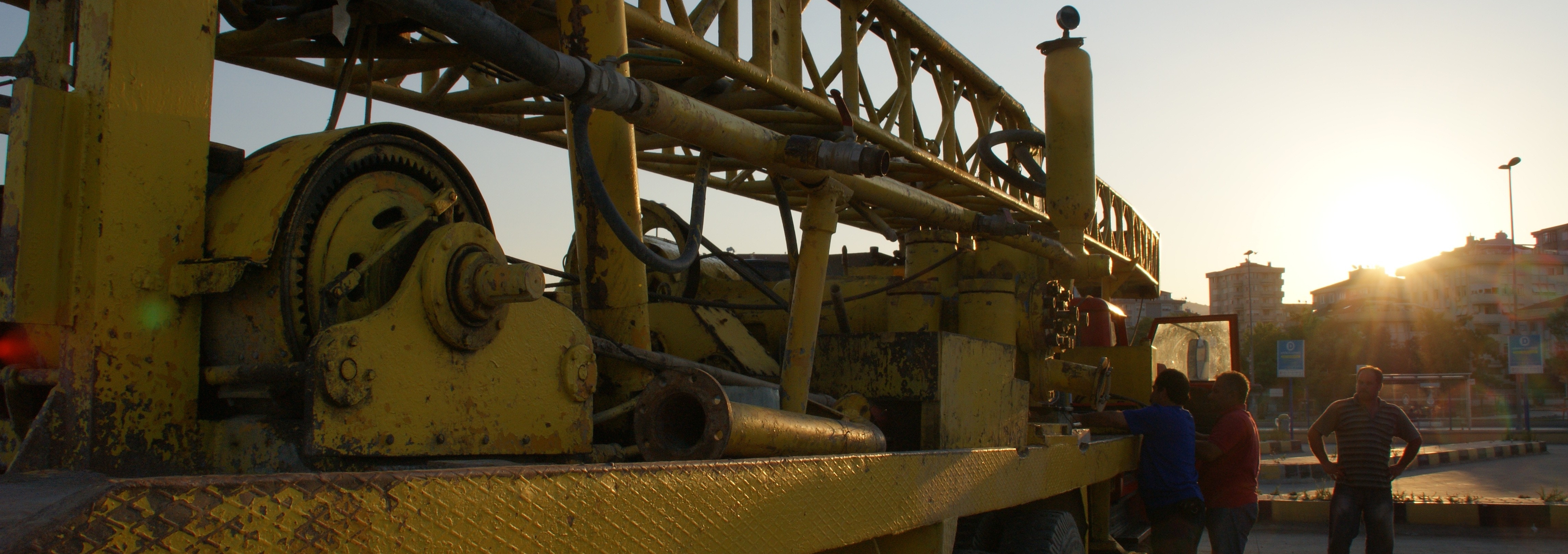
Given these conditions, the GONAF borehole-based geophysical instrumentation surrounding the eastern Sea of Marmara region was conceived and developed in the context of the International Continental Drilling Program (ICDP) project. Since 2015 GONAF is implemented with 11 boreholes at 7 locations equipped with borehole geophones and strainmeters ensuring a high-resolution real time monitoring of the Marmara seismic gap. Combining the data from GONAF stations with surface networks allowed the generation of the first high-resolution seismicity catalog covering almost 15 years (2006-2021, Wollin et al., 2018; Becker et al., 2023). Among others, this catalog was employed to identify earthquake repeaters, which are earthquakes that rupture quasi-periodically the same asperities, and are typically attributed to the presence of aseismic slip (Bohnhoff et al., 2017; Becker et al., 2023).
In addition to the study of brittle failures in the form of seismic events, GONAF is also addressing the role of aseismic deformation processes through strain monitoring. These processes included fault creep and slow earthquakes, which are now recognized as playing equally fundamental roles in the seismomechanics of the earth's crust. In this context, two transient episodes of slow slip have been in connection with the occurrence of M > 4 earthquakes in the region (Martínez-Garzón et al., 2019; Martínez-Garzón et al., 2021). The most likely fault segments hosting slow deformation appear to be the western portion of the Armutlu Peninsula (Durand et al., 2022). It was also observed that the occurrence of these slow slip events has an effect on the local earthquake magnitude-frequency distribution, indicating higher differential stresses towards the end of the transient (Bocchini et al., 2022).